Made a website for downloading EU and US LiDAR scans and terrain models
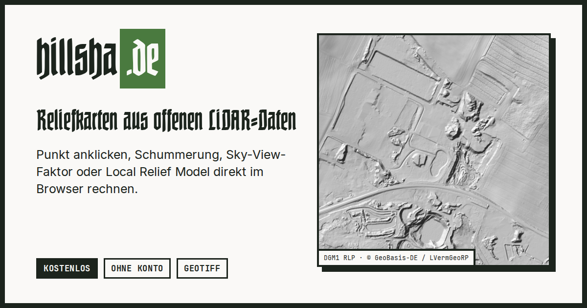
Punkt auf der Karte wählen und aus offenen LiDAR- und Höhendaten (DGM, DOM, Punktwolken) Schummerung, Hangneigung, Sky-View-Faktor, Openness und Local Relief Model live im Browser berechnen und als GeoTIFF speichern. Kostenlos, ohne Konto, ohne Speicherung, für Archäologie und Heimatforschung.
Reactions (1)
Similar products
by description similarity
Global 3D topography explorer
topography.jessekv.comI made a web app to generate 3D models of real places on earth from land cover and elevation data.
New 3D Mapping website
easy3dmaps.comCreate heli orbits and "playable" map tours.
Free & Open-Source GeoGuessr
worldguessr.comGet clean data from tricky documents, powered by vision-language models ⚡
Stray Scanner
github.comcollect raw Lidar scans on iOS devices