Made a website for downloading EU and US LiDAR scans and terrain models
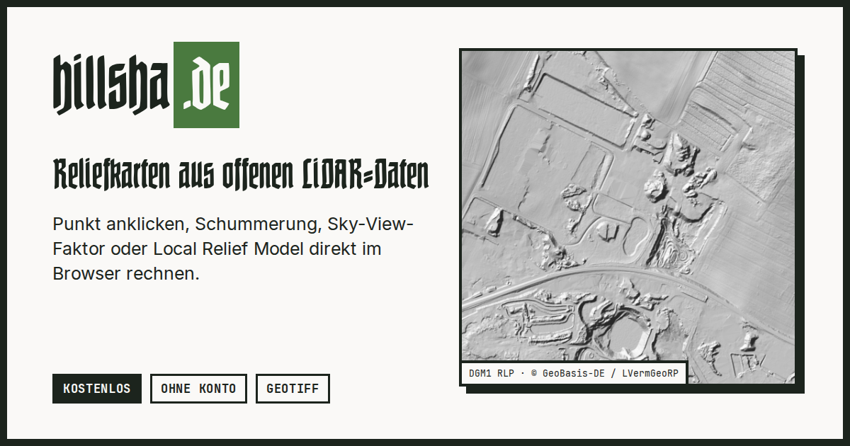
Punkt auf der Karte wählen und aus offenen LiDAR- und Höhendaten (DGM, DOM, Punktwolken) Schummerung, Hangneigung, Sky-View-Faktor, Openness und Local Relief Model live im Browser berechnen und als GeoTIFF speichern. Kostenlos, ohne Konto, ohne Speicherung, für Archäologie und Heimatforschung.
반응 (1)
비슷한 프로덕트
설명이 비슷한 순
Global 3D topography explorer
topography.jessekv.comI made a web app to generate 3D models of real places on earth from land cover and elevation data.
New 3D Mapping website
easy3dmaps.comCreate heli orbits and "playable" map tours.
Free & Open-Source GeoGuessr
worldguessr.comGet clean data from tricky documents, powered by vision-language models ⚡
Stray Scanner
github.comcollect raw Lidar scans on iOS devices