Low Poly Earth
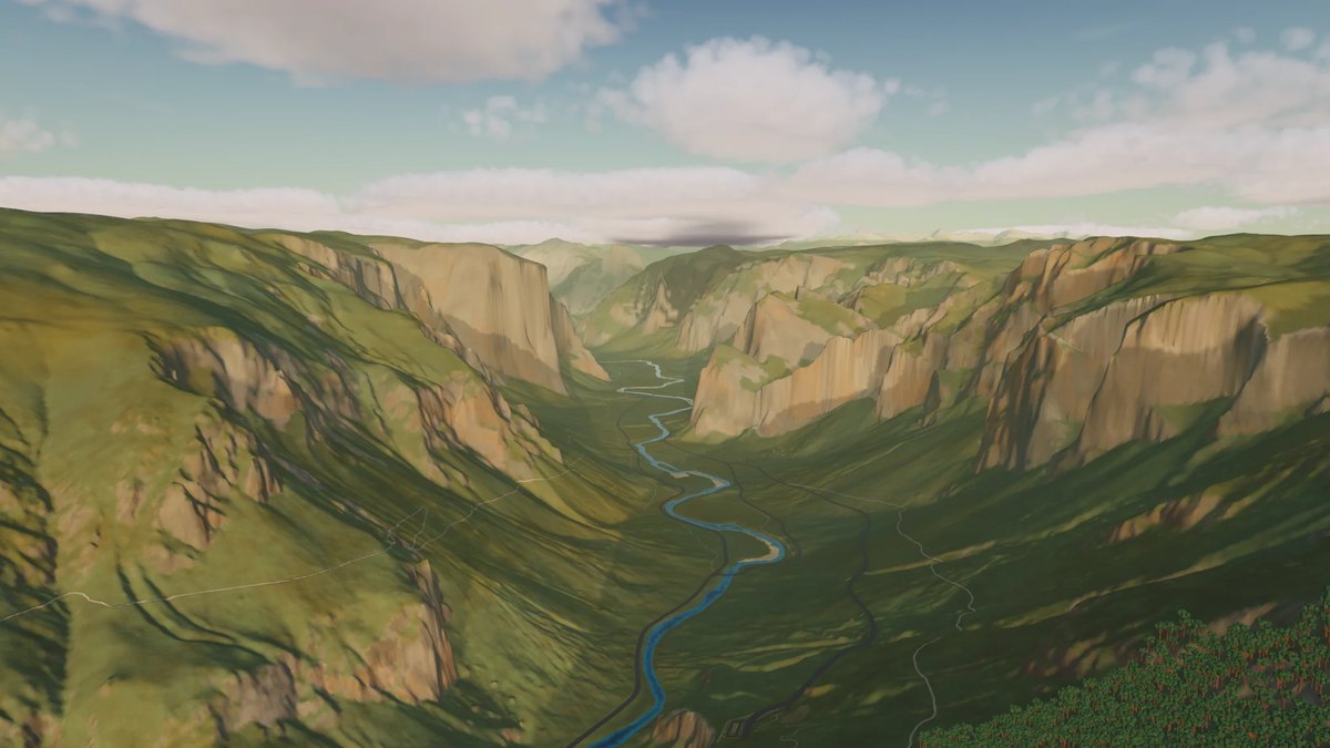
The whole planet in 3D, built from OpenStreetMap data. The whole Earth in 3D, built from open map and elevation data. Free for Mac with Apple silicon. After seeing demos of Claude and GPT construct Manhattan and other city neighborhoods in 3D I was inspired to make something similar but for the entire Earth.
반응 (1)
비슷한 프로덕트
설명이 비슷한 순
Global 3D topography explorer
topography.jessekv.comI made a web app to generate 3D models of real places on earth from land cover and elevation data.
Metiq
metiq.spacea real time 3D globe for 100 public datasets
OutMap
outmap.lola live map of 235 countries where anyone can place a link
Outcrop is a geology app for iPhone and Android with geologic maps in augmented reality. Point your camera at the landscape around you to learn about its geology: what its rocks are called, when and how each formed, and where the continents were at the time. Works offline.
TerraShift
terrashift.ioWhat does +2°C (or -20°C) look like on Earth?