Firemaps Spain
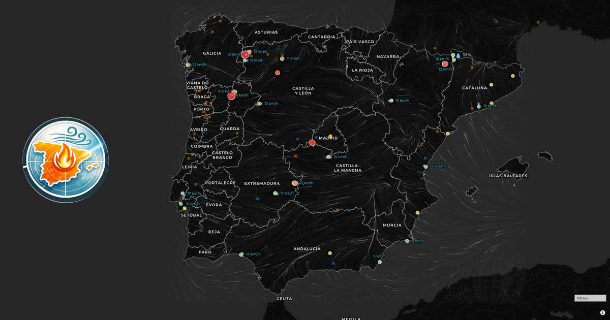
Live wildfire map with wind flow for ES and PT. Incendios en España y Portugal hoy en tiempo casi real: focos por satélite NASA, área quemada de Copernicus, viento con la dirección del humo y municipios afectados.
Reactions (1)
Similar products
by description similarity
LA Wildfire Satellite Analysis
github.comAnalysing satellite imagery of the Jan 2025 Southern California wildfires
An interactive map showing live wind farm generation in Great Britain
renewables-map.robinhawkes.comLive map showing realtime renewable energy generation in Great Britain
Discover 150+ official signposted cycling routes on our interactive map. From international EuroVelo paths to local bike trails, find routes for your next cycling adventure.
Punkt auf der Karte wählen und aus offenen LiDAR- und Höhendaten (DGM, DOM, Punktwolken) Schummerung, Hangneigung, Sky-View-Faktor, Openness und Local Relief Model live im Browser berechnen und als GeoTIFF speichern. Kostenlos, ohne Konto, ohne Speicherung, für Archäologie und Heimatforschung.