Firemaps Spain
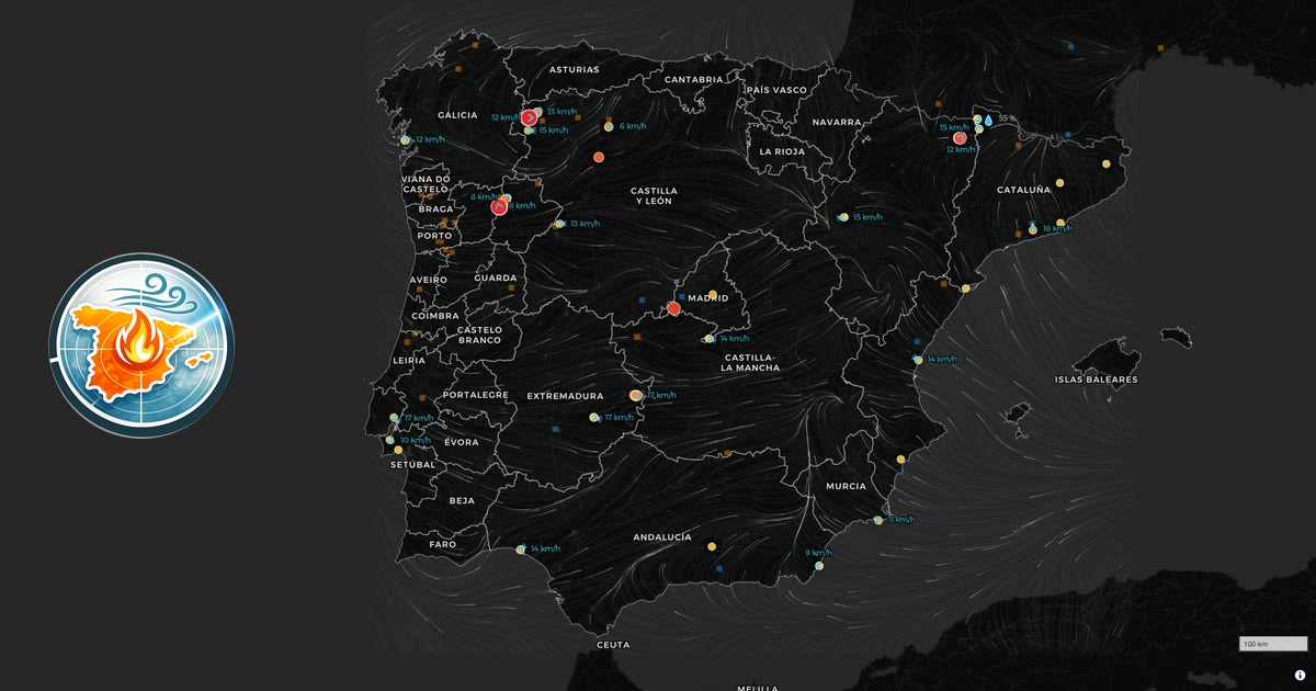
Live wildfire map with wind flow for ES and PT. Incendios en España y Portugal hoy en tiempo casi real: focos por satélite NASA, área quemada de Copernicus, viento con la dirección del humo y municipios afectados.
반응 (1)
비슷한 프로덕트
설명이 비슷한 순
LA Wildfire Satellite Analysis
github.comAnalysing satellite imagery of the Jan 2025 Southern California wildfires
An interactive map showing live wind farm generation in Great Britain
renewables-map.robinhawkes.comLive map showing realtime renewable energy generation in Great Britain
live lightning and storm cells
Excited to share an early version of my project - https://veloplanner.com It's an interactive map where you can find signposted cycling routes (not MTB yet) and various POIs (campgrounds, shelters, viewpoints, and historic points).
Punkt auf der Karte wählen und aus offenen LiDAR- und Höhendaten (DGM, DOM, Punktwolken) Schummerung, Hangneigung, Sky-View-Faktor, Openness und Local Relief Model live im Browser berechnen und als GeoTIFF speichern. Kostenlos, ohne Konto, ohne Speicherung, für Archäologie und Heimatforschung.